News & Videos
All the latest news and videos from C-MAP
News
CMAP Announces Significant Chart Enhancements for the Irish Sea, Land’s End, and Central Europe
First major European chart update of 2026, delivering significant enhancements for recreational boaters.
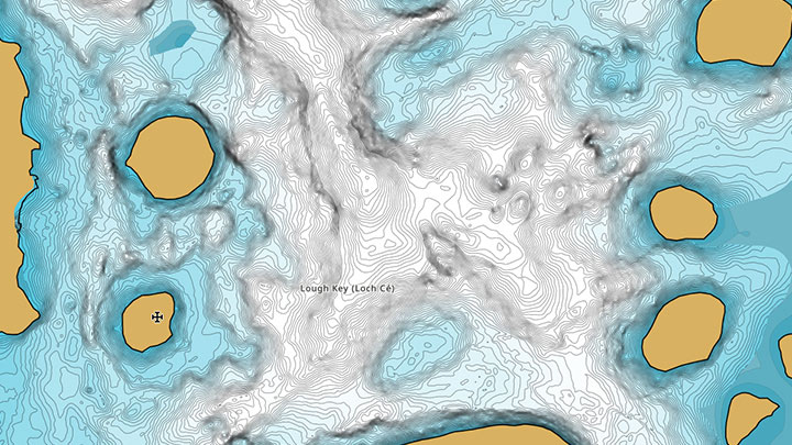
New Inland Waterways Included in the Latest C-MAP® Update Across Europe
This latest update provides updated navigational data sourced from official hydrographic offices across all our charts.
Removal of Raster Layer from C-MAP Reveal and 4D
Effective immediately, C-MAP will no longer offer Raster Charts as part of our offering for Reveal and 4D Charts.
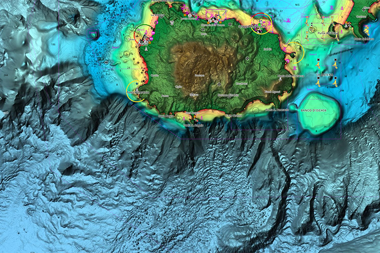
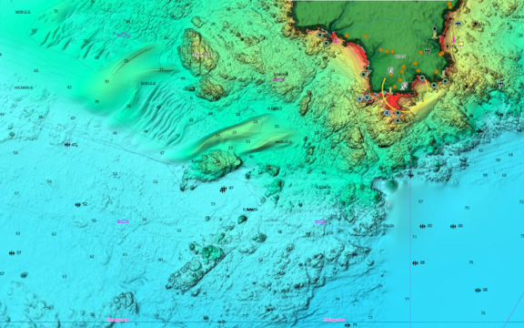
C-MAP Rolls Out Enhanced Charts Across Europe
New update improves cartography across DISCOVER, REVEAL and X Generation charts and introduces ENC-only mode.
Videos
Introducing the C-MAP App
With the C-MAP® App, always have the latest and most detailed chart data to hand, on your phone, tablet or PC – find out more!
Using the 'Shaded Relief' function with Lee Rayner
Join Lee Rayner, and see how you can bring the world to life around you – only with C-MAP® REVEAL™ charts, exclusively for Lowrance® Simrad® and B&G® Chartplotters
C-MAP App: How to use Autorouting
Your perfect planning partner – learn how to create, edit and save a route wherever you are, using your C-MAP® App
CMAP REVEAL | Utilising maps for strategic fishing
Nige Webster is using C-MAP REVEAL to identify reefs and pressure points whilst out on a trolling mission for Spanish mackerel.


