News & Videos
All the latest news and videos from C-MAP
News
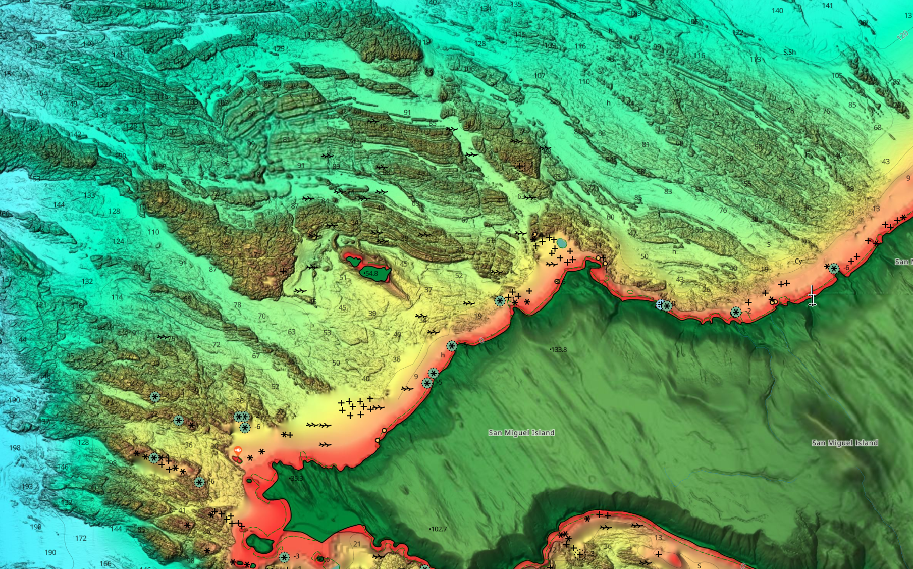
C-MAP Delivers Major North American Chart Enhancements
C-MAP, a leader in marine cartography, has released its final North American chart update for 2025, delivering richer detail and improved safety features for boaters and anglers.
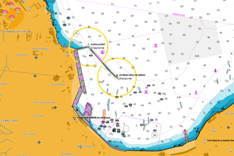
C-MAP Unveils New Charts for Chile
Major update to South American charts with the introduction of Vector Charts for Chilean waters.
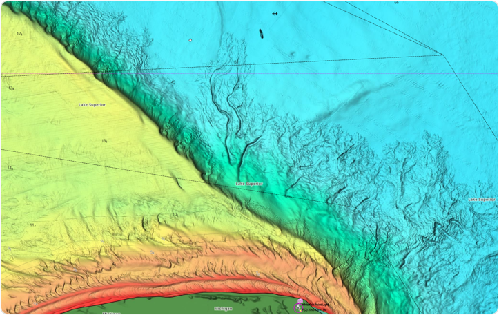
C-MAP® Continues to Enhance Charts Across North America
This latest update enhances our DISCOVER®, REVEAL®, and X Generation charts, available exclusively on Lowrance®, Simrad®, and B&G® chartplotters.
Removal of Raster Layer from C-MAP Reveal and 4D
Effective immediately, C-MAP will no longer offer Raster Charts as part of our offering for Reveal and 4D Charts.
Videos
Introducing the C-MAP App
With the C-MAP® App, always have the latest and most detailed chart data to hand, on your phone, tablet or PC – find out more!
Using the 'Shaded Relief' function with Lee Rayner
Join Lee Rayner, and see how you can bring the world to life around you – only with C-MAP® REVEAL™ charts, exclusively for Lowrance® Simrad® and B&G® Chartplotters
C-MAP App: How to use Autorouting
Your perfect planning partner – learn how to create, edit and save a route wherever you are, using your C-MAP® App
CMAP REVEAL | Utilising maps for strategic fishing
Nige Webster is using C-MAP REVEAL to identify reefs and pressure points whilst out on a trolling mission for Spanish mackerel.


